
 English
 French
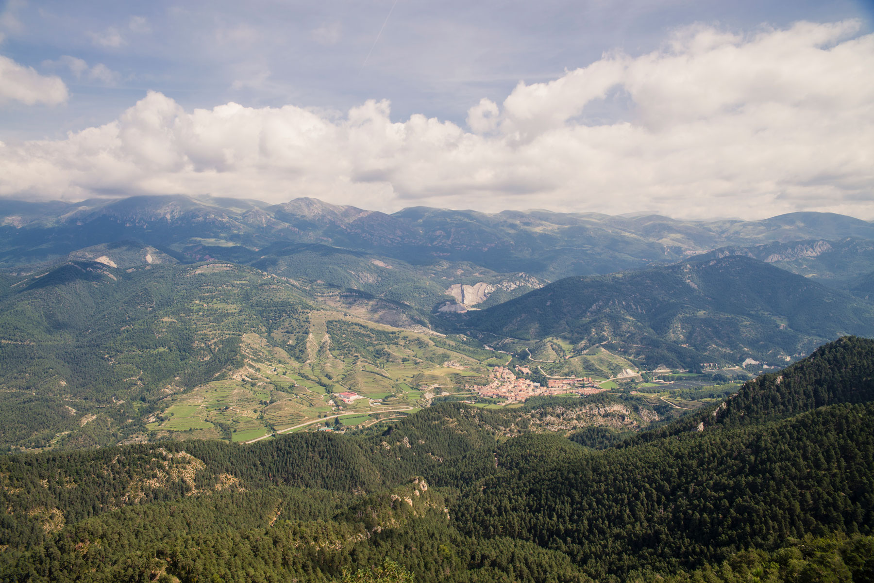
Geographic location
La Pobla de Lillet is located in alt Berguedà region, in the so-called Vall de Lillet, at 843 meters of altitude.
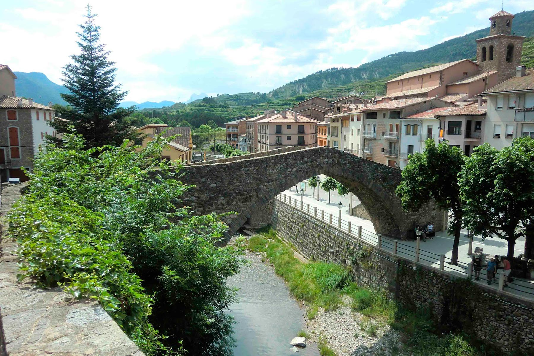
The village is crossed by Llobregat river that receives, on the left and in the middle of the village, its tributaries Arija and Regatell.
Its municipality has an extension of 51,32 km2 and limites to the north with Castellar de n’Hug, to the south with Castell de l’ Areny, to the east with Gombrèn and Sant Jaume de Frontanyà and to the west with Guardiola de Berguedà.
Urban configuration
The village is formed by different neighbourhoods: la Vila, located in the centre, in the place formerly called el Pujol, where the medieval village was founded; la Plana, with steeply sloping streets; les Coromines, with a completely grid structure dating from the 18th century; el Firal, with constructions following the development model proposed by Francoism during the sixties; and Comafiguera, the last expansion area in the village.
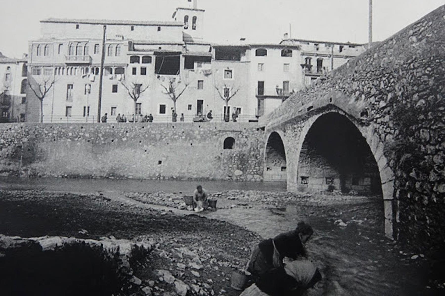
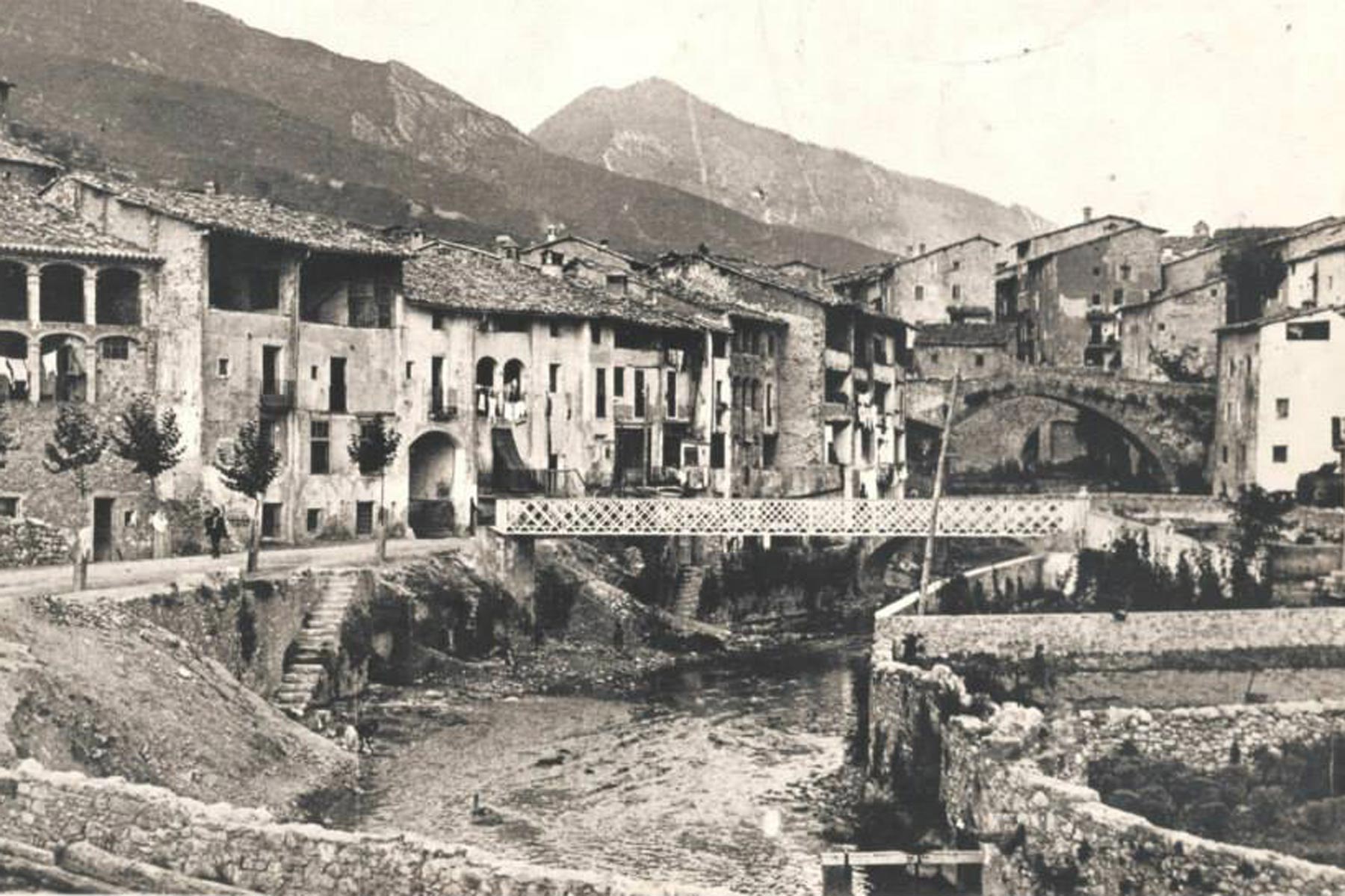
Communication between different neighbourhoods is done through narrow and steep streets in the oldest areas and, when necessary, by bridges and levers that cross the rivers Llobregat, Arija and Regatell.
History
The act of consecration of Lillet Castle church is the first written reference of this toponym, in 833.
There are different hypotheses regarding the origin of Lillet toponym. The most likely would be the influence of French language: “L’ illete”, that means “the islet, the island”, as the first population centre was established on a small piece of land at the confluence of Llobregat and Arija rivers.
1297 year is an important date to La Pobla de Lillet, when Ramon d’Urtx and his son Hug de Mataplana grant the population and privilege chart to the village and begins the construction of the new population centre.
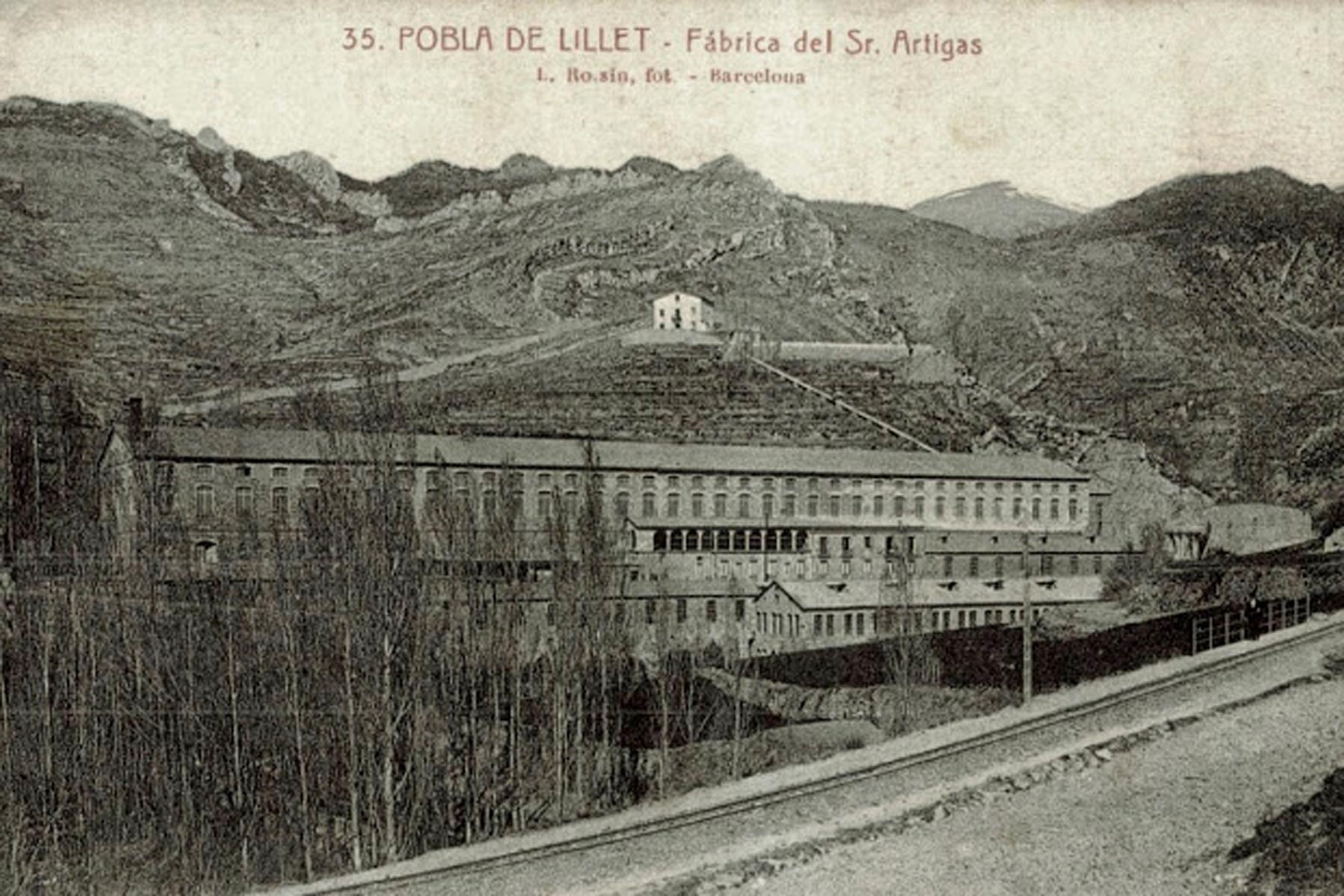
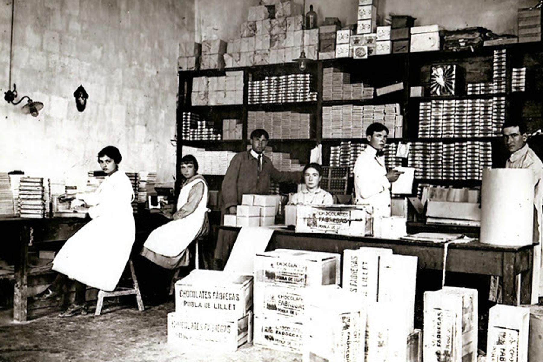
In medieval times, the activity of the valley was mainly agricultural and farming, until the beginning of the industrialisation process. In the 18th century La Pobla de Lillet became the third centre of Catalunya in the textile industry, thanks to the wool industry. In the early 19th century it suffered a very important crisis, from which the village recovered with the arrival of the cotton industry and the exploitation of coal mines.
That industralisation process reached its maximum splendour during the first half of the 20th century, when the sawmills and textile factories flourished and the municipality grew in number of inhabitants.
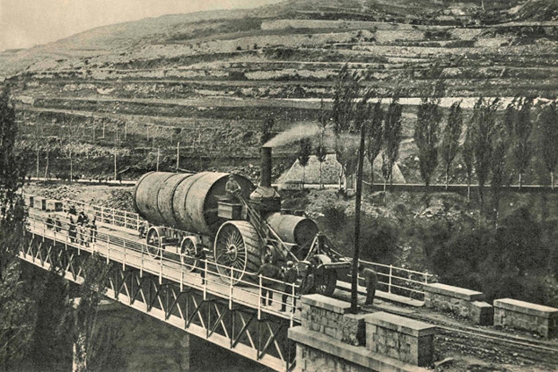
As a result of that phenomenon , a key figure appeared here, Mr Eusebi Güell, founder of the Asland cement factory in Clot del Moro site, very close to La Pobla. At that time there were great advances: the arrival of electricity, the new road, the telegraph… And with the foundation of the factory came the construction of Tren del Ciment (the Cement Train), known as Carrilet, which served both to supply it with coal and to distribute the finished product to other regions and subsequently also providing service to passengers.
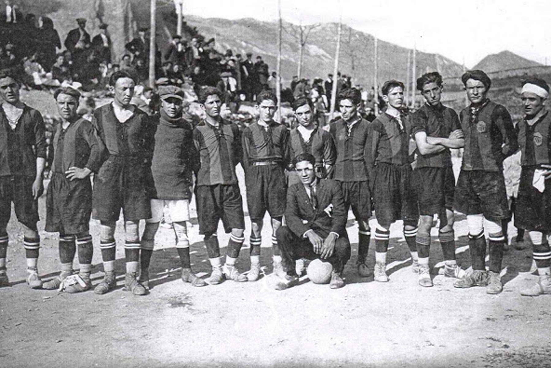
This economic boom made possible the birth of an important associative, political and cultural fabric with the arrival of trendy sports such as football, thanks to Father Josep Augé and the English engineers from Clot del Moro.
Well into the 20th century, mining and textile sectors were again the key to economic activity, until the crisis of the seventies lead to their collapse, with the consequent economic and demographic decline.
Nowadays, beyond the crisis period, the economic activity has recovered thanks to the reconversion to the sectors of tourism and services.

Geographic information
The municipal geographic information portal (geoportal) is a centralized entry point for all information and resources related to territorial information.
One of the its main objectives is to facilitate access to geographic information for all public administrations, the private sector and citizens, making available maps, metadata and standardised geographical services.
These geoportals follow the principles of higher rank IDE and the european INSPIRE initiative.
FAQ’s
La Pobla de Lillet
Is there coach parking?
Where can I park my motorhome?